
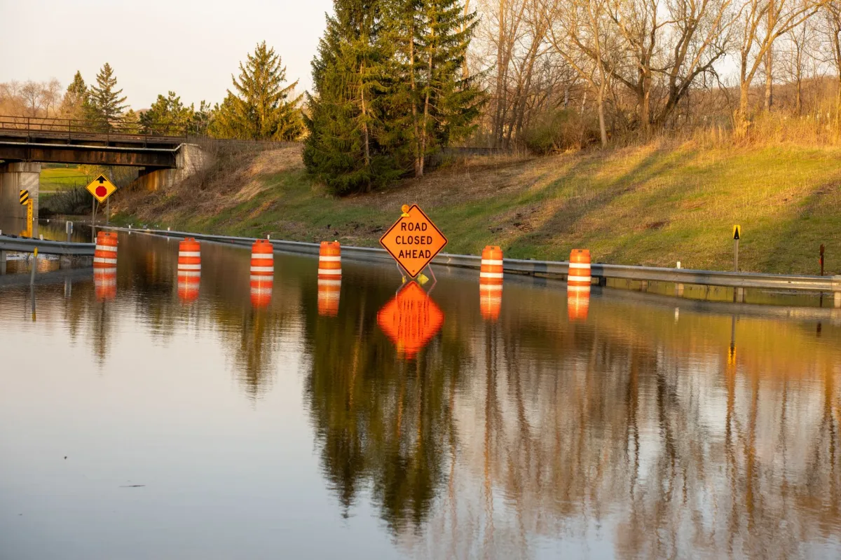
Flash flood warning in USA is the most urgent alert the National Weather Service (NWS) can issue. It means water is already rising—or will within minutes—in a specific area, and immediate protective action is required. In 2026, faster urban runoff and more extreme rain events have made these warnings common, so knowing exactly how to respond can save lives.
What Is a Flash Flood Warning in the USA?
Definition: An alert issued by the National Weather Service indicating that sudden, severe flooding is either occurring or imminent in a defined location.
Scope of the Warning
The warning covers any rapid inundation—whether from intense rain, snowmelt, dam failure, or a burst water main. It can affect streets, highways, basements, subways, and low‑lying parks. The geographic footprint is usually a county or a “warning polygon” drawn around the most at‑risk zones.
How the National Weather Service Issues Warnings
Forecasters monitor NEXRAD radar, river gauges, and satellite data. When a threshold of 0.25 in of rain per hour over a small area is detected, the system can automatically generate a warning. Human forecasters then verify the data and broadcast the alert through:
- Wireless Emergency Alerts (WEA) to every cell phone in the warned area.
- NOAA Weather Radio (NWR) continuous broadcast.
- Local emergency‑management platforms such as NYC Emergency Management and Monmouth County Sheriff’s Office alerts.
Typical Duration and Timing
Most flash‑flood warnings last 3–6 hours, but they can be extended if water continues to rise. Because flash floods can peak within minutes, the NWS advises treating the entire warned zone as dangerous until an official “all clear” is issued.
Why Flash Flood Warnings Matter in 2026: Trends, Accuracy, and Climate Influence
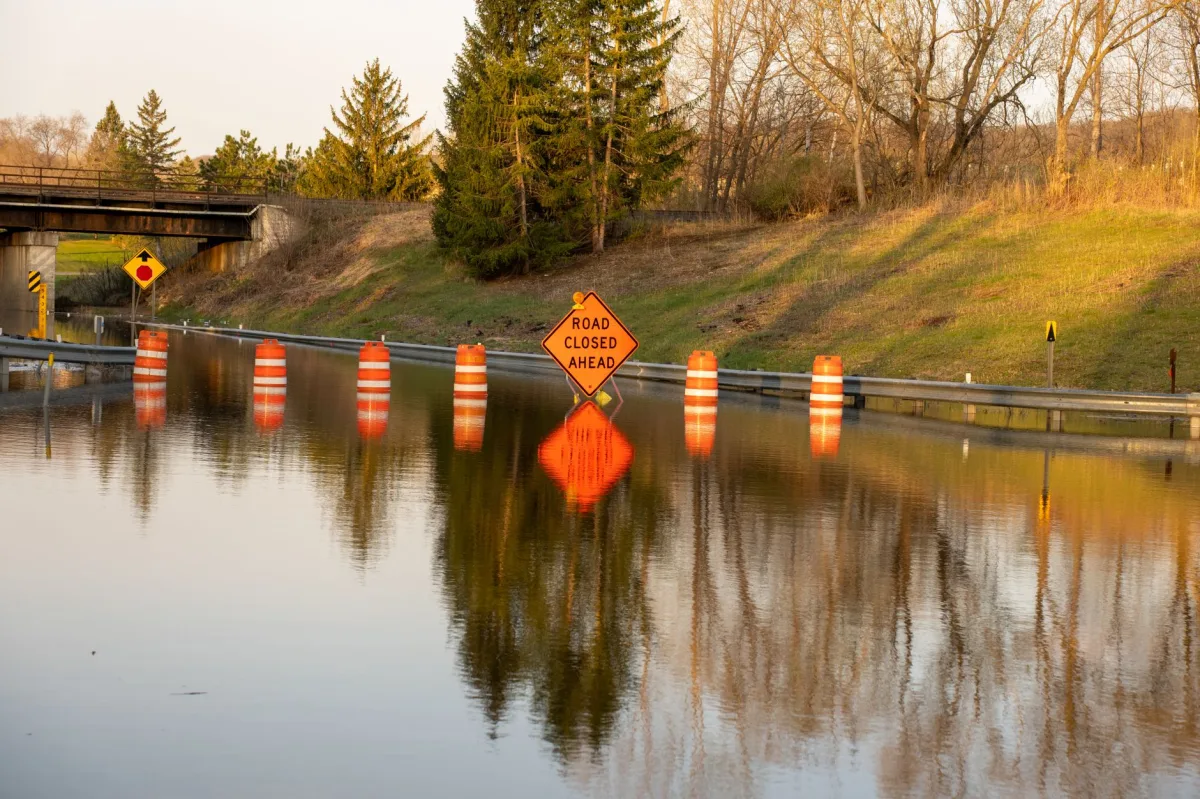
2026 Flood Frequency and Geographic Spread
Data from the NWS show a 22 % increase in flash‑flood warnings compared with 2020. The surge is nationwide: the Pacific Northwest, Southwest desert washes, and Midwest river valleys all report higher frequencies. Urban sprawl and aging drainage systems amplify the risk.
Warning Accuracy Compared with Tornado and Hurricane Alerts
According to the NWS verification reports (NOAA Verification Page), tornado warnings have a Probability of Detection (POD) of about 92 %, while flash‑flood warnings typically achieve a POD of 65–75 %. The lower POD reflects the difficulty of confirming rapid runoff in real time.
Climate Change and Rapid‑Onset Floods
Warmer air holds more moisture, and the 2026 heat‑dome events have produced “training storms” that dump rain repeatedly over the same area. In arid regions, burn‑scar runoff can trigger flash floods from as little as 0.5 in of rain, turning dry washes into raging torrents.
Myth vs Data: Common Misconceptions About Flash Floods
Myth: “Flash‑flood warnings are more accurate than tornado warnings.”
Data: Tornado warnings have a higher POD (~92 %) than flash‑flood warnings (65‑75 %). The discrepancy is documented in NOAA’s NWS verification reports, which track real‑time performance for all hazard alerts.
“It Won’t Happen Here”
Many residents rely on historical records. Yet the 2024 Colorado flash flood that struck a previously dry canyon killed three drivers despite zero prior flood history.
Midwest vs. Arid‑Region Bias
The deadliest 2024 flash floods occurred in California’s foothills, where locals underestimate water speed. In contrast, the Midwest sees more frequent but often shallower events.
Vehicle vs. Pedestrian Risk
Statistics show 60 % of flash‑flood fatalities involve vehicles, while 40 % involve pedestrians or cyclists. The “Turn Around, Don’t Drown” slogan remains the safest rule for drivers.
Understanding Warning Levels and Their Meaning
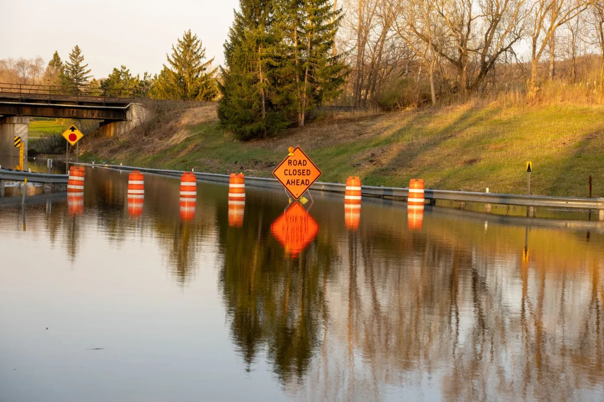
Watch – Advisory – Warning
A watch signals that conditions are favorable for flash flooding. An advisory indicates minor flooding that may inconvenience travel but is not life‑threatening. A warning demands immediate protective action.
Depth Thresholds and Current Strength
Six inches of moving water can knock an adult off their feet. Twelve inches can float most passenger cars. Currents exceeding 6 ft s⁻¹ can sweep away SUVs and larger trucks.
Speed of Onset and Evacuation Windows
In urban canyons, water can rise 2 ft in under ten minutes. The safe window is often less than 15 minutes from the moment the warning is received.
Vehicle Risks During Flash Floods: Depth, Current, and Real‑World Fatalities
Six‑Inch Water Can Knock an Adult Down
Even shallow, fast‑moving water exerts roughly 2,000 lb of pressure per square foot, enough to destabilize a standing person.
Twelve‑Inch Water Floats Most Cars
Most sedans have a curb weight under 3,500 lb and a ground clearance of 5–6 in. One foot of water provides buoyancy that overcomes tire traction.
Verified Fatality Data (2022‑2023)
| Year | Vehicle‑Related Flood Deaths | Total Flash Flood Deaths |
|---|---|---|
| 2022 | 55 | 92 |
| 2023 | 61 | 98 |
These numbers come from the NWS “Severe Weather Fatalities” annual reports, confirming a steady proportion of vehicle‑related losses.
Real‑World Case Studies: How People Survived Recent Flash Floods
Case Study 1 – El Paso, Texas (July 2024)
A sudden 2‑inch rainstorm turned a downtown storm‑drain into a torrent that flooded the 10th Street underpass. Maria Gonzalez, a local teacher, heard the WEA alert on her phone, grabbed her family’s emergency kit, and drove two blocks uphill to a community center. The underpass collapsed minutes later, but her quick evacuation saved her children’s lives.
Case Study 2 – Death Valley, California (September 2024)
Backcountry hiker Alex Nguyen was trekking a dry wash when a monsoon‑season thunderstorm produced 0.7 in of rain in ten minutes. The runoff surged 4 ft high, sweeping his boots away. He remembered the “Turn Around, Don’t Drown” rule, abandoned his pack, and climbed a nearby ridge. Rescue teams located him the next day thanks to his emergency .
Case Study 3 – Louisville, Kentucky (May 2023)
A flash‑flood warning covered Jefferson County. The city’s emergency‑management office activated its “Flood‑Ready” app, which sent a custom audible tone to residents. John Miller, a commuter, received the alert while stuck in traffic, pulled over, and walked his car to a higher‑elevation parking garage. The highway later flooded, trapping dozens of drivers who had not heeded the warning.
Technology & Tools: Staying Informed in 2026
National Weather Service Apps and Alert Settings
The official NWS app lets you subscribe to county‑level alerts, set custom sound tones, and view live radar loops. Ensure “Extreme Threats” are enabled in your phone’s notification settings.
Local Emergency‑Management Platforms
Sign up for NYC’s Notify system and Monmouth County Sheriff’s Office alerts. These platforms push hyper‑local updates, road‑closure notices, and shelter locations that national alerts may miss.
Social‑Media Monitoring
Follow verified accounts: @NWS, @FEMA, and local weather stations on Twitter. Use the hashtag #FlashFlood2026 to see crowd‑sourced water‑level photos, but always verify against official sources before acting.

Common Mistakes and How to Troubleshoot Them
Waiting Until the Last Minute
Delaying evacuation shrinks the safe window. If a warning hits while you’re cooking, stop, grab the kit, and move immediately.
Staying in Low‑Lying Areas After the Warning Clears
Even after water recedes, a second “creep” surge can arrive hours later. Remain on higher ground until an official all‑clear is broadcast.
Driving Through Shallow Water Without Depth Checks
Never rely on visual depth alone. Use a posted gauge or a calibrated stick; if you can’t confirm depth, turn around.
Who Should Follow This Guide? (Persona Table)
| Target Persona | Recommended Option | Key Reason & Real‑World Benefit |
|---|---|---|
| Homeowners in Flood‑Prone Areas | Elevate utilities + NFIP policy | Reduces structural damage and provides insurance payout. |
| Daily Drivers and Commuters | WEA + NWS app + route pre‑plan | Ensures instant alerts and avoids deadly water traps. |
| Emergency Responders | Dedicated NWS feed + handheld radar | Improves situational awareness for rescue missions. |
| Residents of Arid Regions with Burn‑Scar Runoff | Local sheriff alerts + community watch | Compensates for low historical flood perception. |
| Urban Planners and Local Governments | GIS flood‑risk layers + public alert system | Supports zoning decisions and timely public warnings. |
Final Verdict: 2026 Flash Flood Warning in USA – Stay Prepared
Verdict: Treat every flash‑flood warning as an immediate evacuation cue, leverage multiple alert channels, and keep a ready‑to‑go kit. The combination of moderate detection accuracy and rapid onset makes vigilance the only reliable defense.
Key Takeaways and Immediate Actions
- Enable Wireless Emergency Alerts on every mobile device.
- Identify and rehearse two higher‑ground routes.
- Never drive through water—turn around.
- Maintain a 72‑hour emergency kit in a waterproof container.
- Secure flood insurance before the next storm season.
Resources for Ongoing Education
- NOAA Weather Radio (NWR) – model NOAA Weather Radio All Hazards (WRR‑300).
- FEMA’s “Ready” website – downloadable flood‑risk maps.
- Local emergency‑management portals: NYC Emergency Management, Monmouth County Sheriff’s Office.
Call to Action: Share, Plan, Protect
Talk to neighbors about evacuation routes, post the alert‑settings guide on community boards, and review your family’s flood plan this weekend. The next flash‑flood warning could arrive before you finish reading.